Hiking the Ultra Baugil in South Korea: Gangneung’s rugged mountain range and untamed wilderness provide the perfect challenge
South Korea’s most challenging natural attraction, the 71-kilometre Ultra Baugil trail arcs around Gangneung’s alpine rim, giving trekkers the chance to experience nature at its best in one of Asia’s most heavily developed countries
Visions of ticket touts, camera crews and flag-waving fans are still fresh in my mind when I arrive at Gangneung’s railway station on an early summer evening.
Just a few months ago, Gangneung was hosting the ice sports of the Winter Olympics such as ice hockey, curling and ice skating. But now, the snow on its mountain backdrop has melted.
The good, bad and ugly sides to South Korea’s Jeju Island
This is the first summer that the coastal city is benefiting from a new high-speed train line from Seoul, built expressly for the Olympics, making Gangneung a convenient weekend escape from the South Korean capital.
I’ve come to tackle the most notoriously challenging of its natural attractions: a 71km trail that arcs around the city’s alpine perimeter. Named the Ultra Baugil, it is Korea’s answer to the trekking courses of Nepal.
Shouldering my pack, I head straight to a centrally located guest house intended for Baugil hikers. Despite the late hour, I am welcomed by Lee Gi-ho, the secretary general of the trail network. A kindly man, Lee insists on printing out a dozen pages of route information for me on the spot.
The air is chilly the next morning when the first bus to Geumjin Harbour pulls up and I lug my backpack aboard. Within a few stops, the aisle has filled up with soldiers, and before long we’re cruising south along pine-fringed beaches and jagged coastal cliffs.
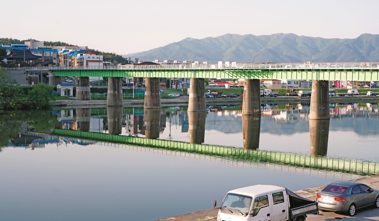
The soldiers have all got off by the time we reach Geumjin Harbour, which is little more than a strip of raw fish restaurants.
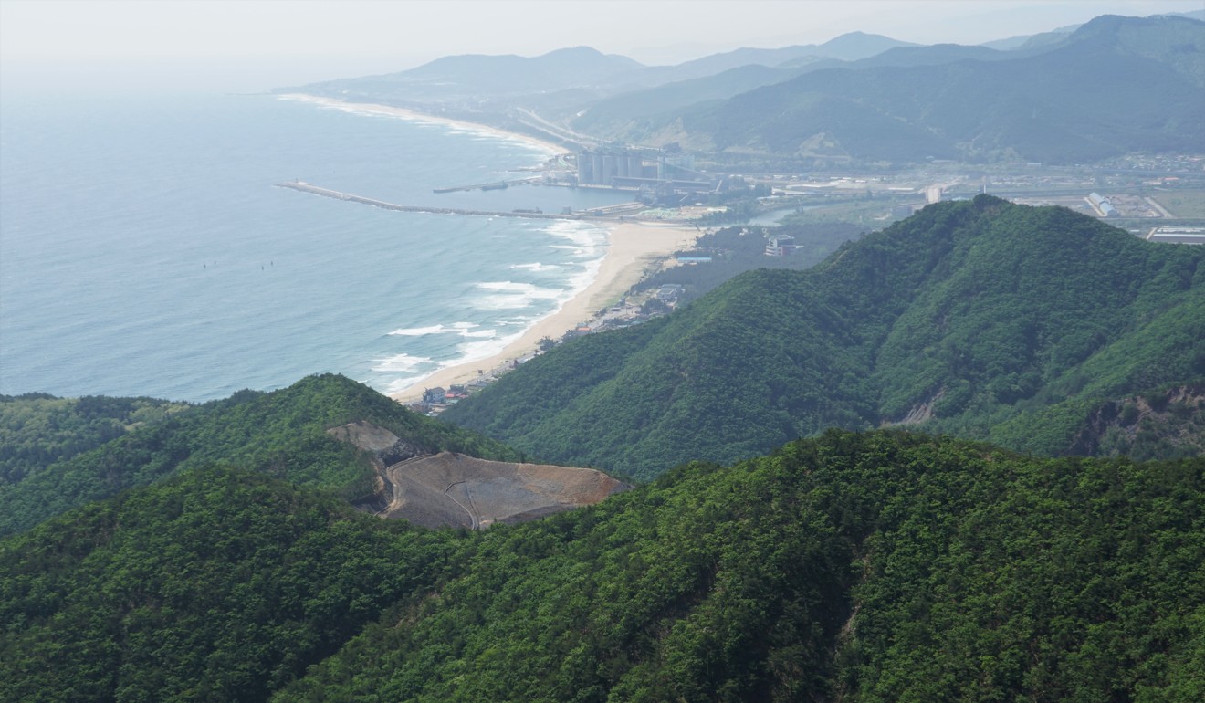
The trail starts out steeply, passing through small, huddled pines, and I break into a sweat. While many South Korean hikes have a festival atmosphere because of the crowds, this one is quite solitary. There’s not a cloud in the sky, and on reaching the first peak, Gimabong, I’m rewarded with a view of Okgye Beach – a long, curving scimitar of sand. The eastern horizon has been blurred by the sun, and the pine branches around me are bobbing lightly in the breeze.
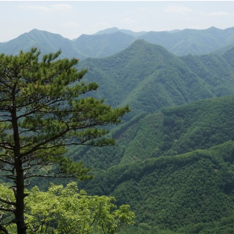
As I gain elevation on the next section, the ridge begins to slope down at a sharper angle, and I come across ancient, wizened pines, some so hefty they’d take a couple of pairs of arms to encircle. Occasionally, I spot isolated hamlets in the valleys below. Their blue tin roofs date back to the New Village Movement of the ’70s, when traditional thatched roofs were replaced with sturdier ones.
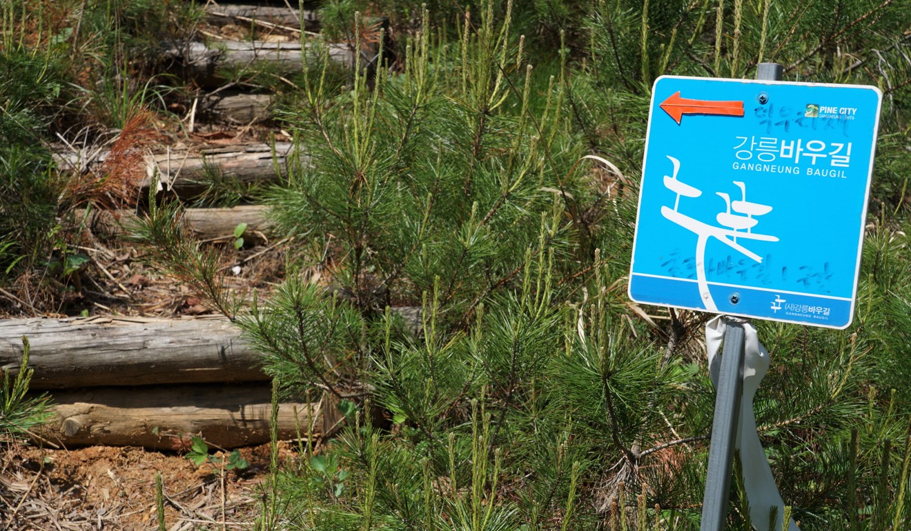
Tramping along, my fingers become sticky with sap from moving deadfall, and my camera becomes dusted with a fine yellow coating of pine pollen. At times, the trail disappears under heaps of fallen leaves, making it crucial to look out for the markers hanging from branches.
According to former Gangneung resident Zac Metcalf, who made several attempts to run the Ultra Baugil in one go, this section was diverted about two years ago. “It used to veer off further to the north,” he says. “The original route was even more overgrown.”
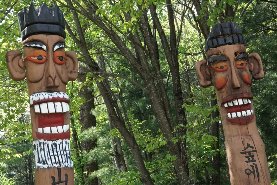
Around noon, I reach a clearing where the trail veers left and am about to proceed when I notice something in the forest. I realise with a start that it’s a small stone man, his sombre visage lit up with sunlight. A crow caws nearby, and I turn to discover a mossy counterpart standing opposite. It turns out that they’re guarding a grave, which I’d walked past unknowingly. The earthen mound is so old it’s sunken down in the middle and covered with ferns.
It’s taken me half a day to reach this spot, but somehow, a century or more ago, the locals were able to carry a bier up here and hold a funeral. In those times, Siberian tigers still roamed the mountains of this province, which has always been Korea’s least populated because of its sheer ruggedness.
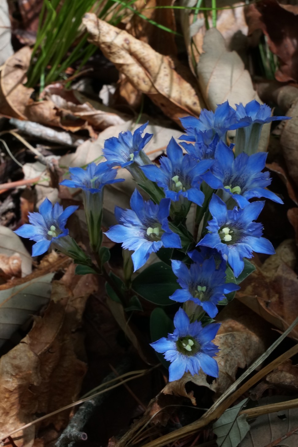
As I climb above the 500-metre mark, I come across gentians and other spring flowers on the forest floor and, at eye-level, bushes of royal azalea. But my reverie is broken by the half-bark, half-scream of some wild animal in the underbrush nearby. With nightfall nearing, I’m relieved when the trail merges with a dirt road. Conveniently, there’s a clearing right where the Ultra Baugil feeds back into the woods, a fine spot to set up camp.
While cooking dinner, and again in the middle of the night, I’m unnerved to hear the cry of the creature in the forest, which I later search for online and match exactly to the sound of a lynx.
Can 24-hour visit to a Korean Buddhist temple enlighten you?
According to Baugil planning manager No Il-su, lynx haven’t been met with on the Ultra Baugil, though this is not surprising as the creatures rarely let themselves be seen by humans. There have been reports of wild boar, however, and deer sightings are almost guaranteed.
The next morning, I start with the dawn and briskly follow the ridge up to Duribong Peak. This is where the Ultra Baugil first reaches 1,000 metres and begins to overlap with the Baekdudaegan path. The Baekdudaegan is Korea’s mightiest mountain range, beginning at Mount Baekdu on the North Korea-China border and rippling down to the southern end of the peninsula.
After making my way through slopes of dwarf bamboo and Japanese maple, I reach Sapdangnyeong, a high pass crossed by Highway 35. Here, I’m delighted to find the modern equivalent of a jumak, a tavern for travellers, run by an old woman and her granddaughter.
Peeking inside, I see ears of unripe corn hanging from a corner of the ceiling and a menu board listing local specialities like gamjajeon (savoury potato pancakes) and oksusu dongdongju (home-brewed corn beer).

After a long rest, I continue over a succession of rolling peaks until I reach a thigh-aching series of stone steps. My legs pump reluctantly, like warped pistons, until I top Mount Gorupogisan, the highest point of the whole affair at 1,238 metres. The peak is level with a huge wind turbine, and the propeller makes a tremendous chopping sound each time it swoops around.
The next morning, I awaken to a cool drizzle near Daegwallyeong Pass and scarf down a fortifying bowl of oatmeal. Ahead of me on the trail are a series of emerald-green bluffs planted with dozens of wind turbines. On my left, as I plod along, is Pyeongchang County – I can see the Olympic ski jumps in the distance. On my right, Gangneung falls into a basin that sweeps down to the East Sea.

It’s Saturday, and I’m hoping to meet some fellow hikers, but the weather has discouraged all but a single group of middle-aged men hiking with umbrellas. We exchange pleasantries, and I pick my way down slick stone steps to the village of Bogwang-ri.
The rain is still trickling down when I lug my backpack off the bus in Gangneung and start off down the street. With my scavenged walking stick, I feel like a hermit who has emerged from a long spell in the wilderness. I have to remind myself that it’s only been two-and-a-half days.
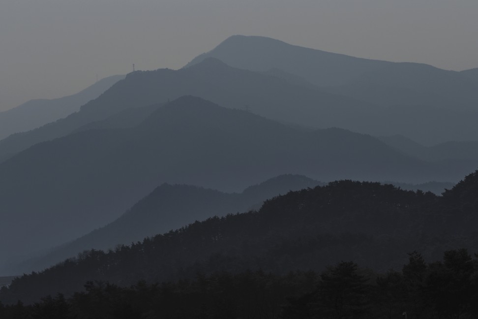
The Ultra Baugil’s challenges are not to be underestimated, I’ve learned, but I feel thankful for being able to experience such extreme wilderness in such a heavily developed country.
Staying there: Once in Gangneung, there’s no shortage of places to stay. The official Baugil Guest House is a good option for those who don’t mind sleeping in a dorm. Once you’re on the trail, though, you’ll need a tent. Gear rental is not available in Gangneung, though it’s possible to hire a guide by contacting the Baugil office.
Zhangjiajie national park: the best of its stunning mountain sights

