Advertisement
Advertisement
History
Get more with myNEWS
A personalised news feed of stories that matter to you
Learn more
Ma Wan, an island between Lantau and Tsing Yi in Hong Kong, is best known today for the Park Island residential development. Photo: Martin Chan

The little island that could have been Hong Kong, but for a British army officer’s bad weather day 230 years ago

  • In 1794 a British naval party landed on Ma Wan, off Lantau, to see if it might become the British Empire’s trading base in southern China. But it was a rainy day
  • The officer in charge did not see its sheltered anchorage and so, half a century later, it was on Hong Kong Island that the British planted their flag instead
History

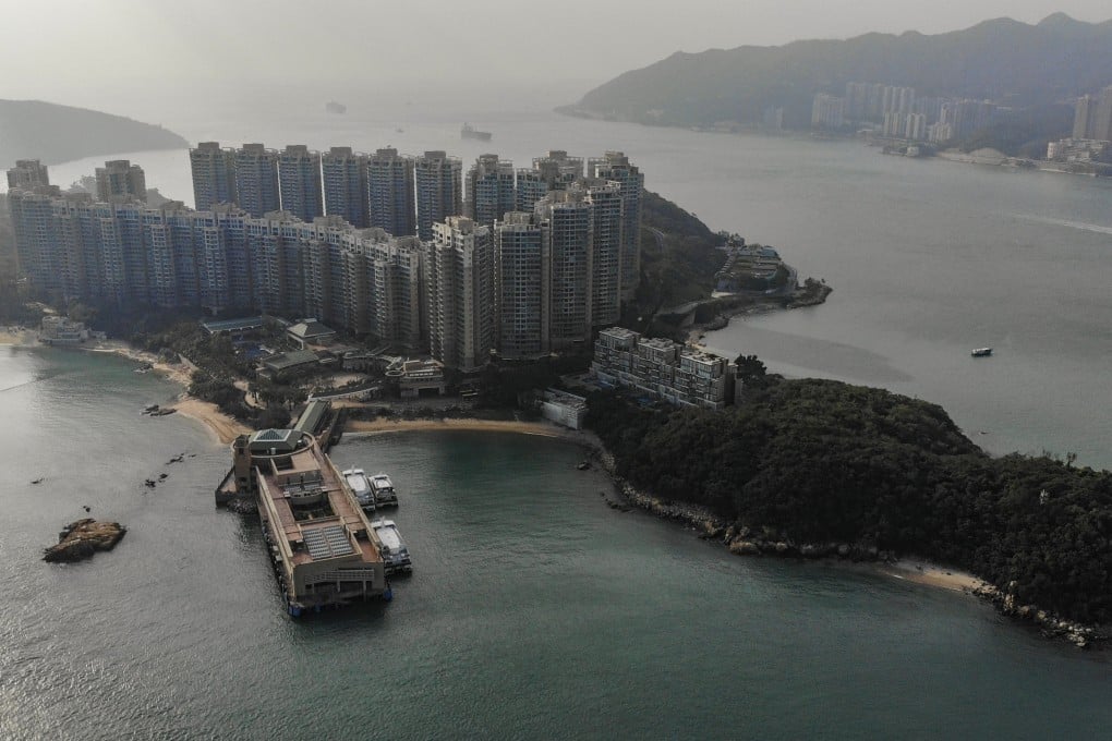
Even with international travel restricted, Ma Wan is not a place many people in Hong Kong visit, but this tiny, obscure island could have been known around the world.

Nearly 230 years ago, British officials considered claiming Ma Wan for their main trading settlement in southern China and sent a party to investigate its potential.

Records reveal that if it hadn’t been for some horrible weather, Hong Kong might never have been “Hong Kong” – it would have been Ma Wan, sandwiched between the northeastern coast of Lantau and Tsing Yi.
Instead, history dictated that Ma Wan is now known mostly for the Park Island high-rise residential complex and the Noah’s Ark religious theme park.

When translating Chinese into English could be dangerous

In February, 1794, Lieutenant Henry William Parish was dispatched from Macau – a Portuguese enclave in southern China since the 16th century – in a small, ten-gun sailing brig called HMS Jackall, to explore the island of Ma Wan, which the British called Cow-hee. He was ordered to report on its potential as a base for British ships trading with Canton (Guangzhou).

“The weather was squally with rain and so thick that we could hardly discern land,” wrote Parish in his journal. A trained draughtsman in the Royal Artillery, Parish was part of the large entourage returning with Lord Macartney from his futile mission to Beijing to secure from China’s Qianlong Emperor full diplomatic and trade relations with the British.
Ma Wan during construction of the Tsing Ma Bridge in 1994. Photo: SCMP
Because of the weather and the fact that this section of the Pearl River Delta was mostly uncharted, HMS Jackall anchored on the northern side of the Ma Wan channel. Parish and his party rowed across the stretch of water separating them from the island in driving rain in a small boat.

They made land in just about the worst place possible, on the northern coast of Ma Wan, with cliffs falling into the sea, so they rowed east until reaching the beach at Pak Wan and landed there.

“The inhabitants who were fishermen were civil but they appeared to be alarmed by our arrival,” noted Parish.

I was taught that the British preferred Hong Kong to Ma Wan and Lantau because it offered deep water and better shelter from typhoons
Jieldson Sarino, Ma Wan tourist guide

The alarm was hardly surprising because this was pirate country. The Tin Hau temple at Pak Wan was later sponsored by the notorious bisexual pirate commander Cheung Po Tsai.

If the men Parish encountered were not pirates, they were almost certainly collaborators or sympathisers. No doubt they would have been startled to see a white-skinned army officer and accompanying naval party marching up the beach towards them.

That beach is a five-minute walk from the modern-day ferry terminal. While there is no sign of pirates, the old Tin Hau temple marks the secluded beach from where can be seen a procession of huge container ships sliding past in the Ma Wan channel.

Jieldson Sarino and his son on Pak Wan beach, Ma Wan. Photo: Stuart Heaver

The beach is popular with residents and one of them, encountered recently enjoying a day off with his young son, claimed to know something of the local history.

“I have not heard of Parish but I was taught that the British preferred Hong Kong to Ma Wan and Lantau because it offered deep water and better shelter from typhoons,” says Jieldson Sarino, who trained as a tour guide.

Having landed at Pak Wan, Parish reported seeing a well, before his party ascended a hill that afforded a view to the eastern coast and to the hills of Lantau, to the west. At the summit of this hill now is the island’s reservoir, served by the same well. From this vantage point, Parish assessed the island.

“As to its extent, its fertility and its situation, in a point of view, merely military, it appears a desirable island but perhaps it may be seen in a different light when examined as a situation for a settlement intended to protect the large and valuable ships employed in the China trade,” he wrote.

Parish was not impressed because he could not see any potential for a harbour suitable for big ships. He stated in his report that the harbour was “incapable of future improvements to any very great degree on account of rapidity of currents, depth of water and badness of the bottom”.

However, from where he stood making these observations, it was impossible for Parish to observe the old village of Ma Wan and its sheltered anchorage, on the southwest of the island, or the area which is now a designated anchorage to the south.

The harbour at old Ma Wan village,.the sheltered anchorage Lieutenant Henry William Parish failed to spot in 1794. Photo: Stuart Heaver

The old village is where the Imperial Maritime Customs House (Yamen) was later built, and the recently abandoned settlement contains several heritage buildings, including a second Tin Hau temple and the Mui Wai rock inscription.

They form part of a conservation and refurbishment programme being undertaken as part of the phase two Park Island development.

According to the government, Old Ma Wan village houses will be revitalised into an artists’ enclave, with studios, workshops, retail and food and drink outlets, and the historic relics will all be preserved. For now, though, it is all fenced off.

Ma Wan old village and harbour in 1977, which Lieutenant Henry William Parish missed. Photo: HK Central Library

It’s a reminder that Ma Wan had a rich history long before the British turned up. Archaeological investigations in 1997 revealed a burial site on the eastern side of the island with several intact skeletons, including that of a middle-aged woman, some dating back to Neolithic times.

Parish’s charts and drawings were faultless but, standing soaked through on that hill, with his view impaired by poor visibility, and aware he was pressed for time with his ship in a dangerous anchorage, it seems he called it a day.

To be fair to Parish, he had been away from home since September 1792, so his enthusiasm may have been waning.

Tam Shui Wan on the west coast of Ma Wan. Photo: Stuart Heaver

Whatever the reason, Parish did not investigate further. The soundings on the Parish chart which mark the track of HMS Jackall are evidence that his party did not explore the southern or western shores of the island.

If they had, Parish might well have recommended Ma Wan as a suitable anchorage and island trading base for the British Empire – and history would have taken an alternative course.


1