
The high roads to border conflict through India and China
- The neighbours have once again pulled back after clashes in the Himalayas over infrastructure construction
- The skirmishes are part of a long line that date back decades and could come back to life again

Another year and another border clash between China and India has been defused.
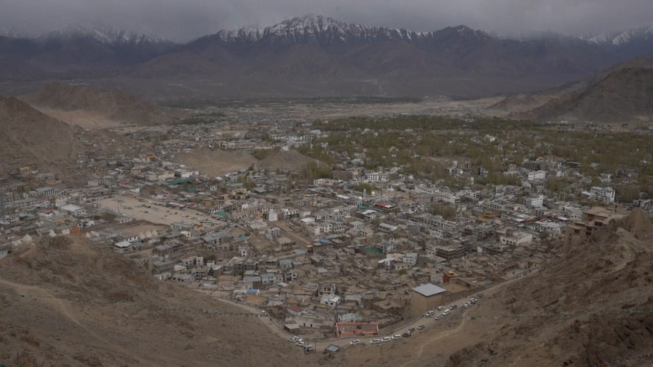
The clashes were triggered by India’s construction of a road in the Galwan River valley, an area bounded by Indian-controlled Ladakh on one side and Chinese-administered Aksai Chin on the other.
But while the troops have retreated for now, the decades of road building along the 3,500km (2,200-mile) border has not stopped, making further confrontation likely, according to an observer.
02:19
China-India border dispute fuelled by rise in nationalism on both sides
India protested furiously because it saw Aksai Chin as part of Ladakh.
The two militaries fought for about a month before China declared a ceasefire and pulled back 20km behind the 1959 LAC.
Last year India built an all-weather road in the area and plans to complete 11 more roads along the LAC this year.
The job of building and maintaining the infrastructure is the responsibility of the Border Roads Organisation, an agency under the umbrella of the Ministry of Defence.
Its plan is to build 61 roads totalling 3,300km along the LAC by 2023, and in October 2019, the BRO announced that it had completed 75 per cent of the programme.
In particular, India in 2019 finished a 255km section of road between Leh and the Karakoram Pass in Ladakh, with some 37 bridges over icy rivers on the 5,000-metre-high plateau. It is only 20km from the Karakoram Pass, a de facto trijunction of China, India and Pakistan. The new road enables quick troop and heavy arms movement to an area that it did not have access, and led to the stand-off in May.

01:00
China-India border situation 'stable and controllable', Chinese Foreign Ministry says
Meanwhile, China has also been working on extending the old Xinjiang-Tibet Road into National Highway 219, or Route G219, along its lengthy western border line, including branches to remote corners of the boundary.
From Xinjiang, the G219 crosses the Kunlun, Karakoram, Gangdise and Himalaya mountains, through 4,500m-high plateaus into Tibet. It reaches farther down Shannan and Nyingchi prefectures in Tibet, part of which are controlled by India as Arunachal Pradesh. It will eventually reach Dongxing, a border town next to Vietnam in Guangxi by the South China Sea.
In the past five years, the road has undergone significant re-routing and upgrades, especially several sections in Shannan and Nyingchi, each more than 300km. A concrete road between Medog and Zayu – two areas with Indian-occupied zones – will be completed the end of this year, according to the local government.
Lin Minwang, director of the Centre for South Asia Studies at Fudan University, said frictions were inevitable.
“It is impossible for India and China to resolve the border issue for now. The only practical thing to do is to manage the conflicts,” he said.
