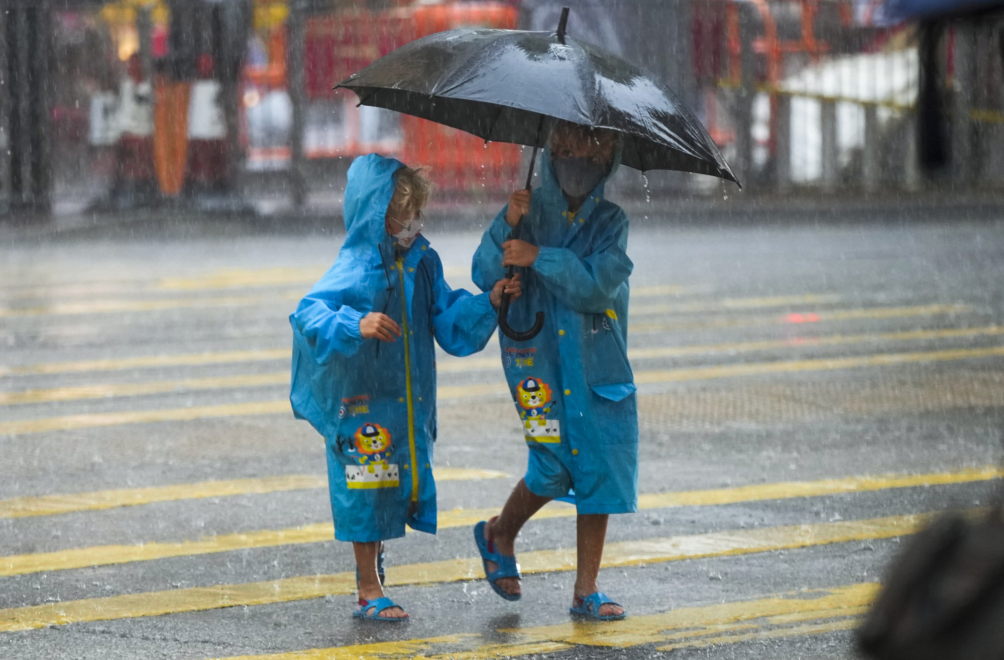
Hong Kong No 1 typhoon warning signal cancelled at 2.40pm on Thursday, as thunderstorms and rain set to continue
- Alert issued on Wednesday night, with storm projected to move west-northwest at about 15km/h
- Observatory warns tropical cyclone could develop during early to mid stages of next week as a result of area of low pressure in South China Sea
A No 1 typhoon warning signal in Hong Kong was cancelled at 2.40pm on Thursday on the back of a fading tropical depression, but associated outer rainbands will continue to bring showers and thunderstorms.
The Observatory issued the alert at 10.10pm on Wednesday, meaning Hong Kong might be affected by a tropical cyclone inside 800 kilometres (497 miles) of the city.
The forecaster said around noon it would consider dropping all tropical cyclone warning signals between 2pm and 4pm on Thursday as the effects of the tropical depression continued to fade.

The Observatory said the tropical depression was estimated to be about 90 kilometres northeast of the forecaster’s headquarters in Tsim Sha Tsui, adding that it might shift west-northwest at about 15 kilometres per hour across Guangdong and progressively weaken.
The Guangdong coast would continue to see squally showers and thunderstorms brought about by the outer rain bands of the tropical depression, it added.
The city’s rainy weather is expected to continue until Sunday, but the Observatory warned that a tropical cyclone could develop in the early to mid stages of next week because of an area of low pressure in the South China Sea.
More to follow …

